Sandy's Written Creations
Writings by Sandra Harrison including poetry, essays, fiction, non-fiction; children's literatire.
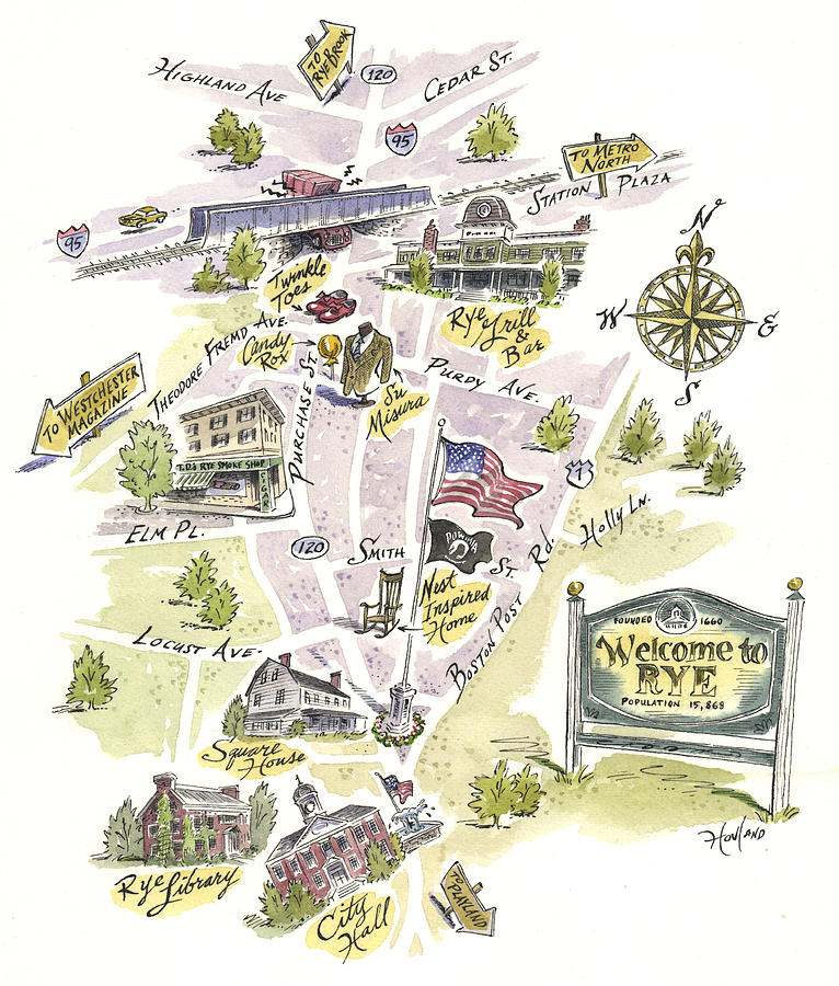
Rye, New York

.jpg/712px-Map-Novi_Belgii_Nov%C3%A6que_Angli%C3%A6_(Amsterdam%2C_1685).jpg)
Town of Rye or “Rye” began with three English settlers Thomas Studwell, John Coe, and Peter Disbrow moving on June 29, 1660 to Manursing Island, The island juts out into the Long Island Sound. They came from “Grenege” (Greenwich today) after purchasing the area known as Peningo from the Siwanoy on January 2, 1660 from the Mohegans of the larger Algonkian nation. Purchase was made with Shenarockwell, a Mohican chief. Land was along LI Sound between the Mamaroneck and Byram Rivers.
The Siwanoy had farmed the area growing corn, pumpkins and beans and pumpkins but their diet also included sea food and small game found in abundance along the shore and inland areas. Their homes were wigwams that were easy to construct and move. They were built with easily readily available wood and made by lashing bent poles together and covering them with bark or thatched reeds.
The settlers later purchased Manursing Island and named their settlement Hastings. By 1664, more settlers arrived and found more land on the mainland to build cabins where Playland and Rye Town Park are today and named the area Rye. In 1665, Hastings and Rye merged and the village on Manursing Island was abandoned. Town was named after Rye, in Sussex, England. The settlers were Puritans.
In 1672, Robert bought land from Philip Galpin on Peningo Neck about the time Thomas Merritt and Peningo Neck is now the business section of the City of Rye. Also developed was the Saw Pit area on the Byram River that is now Port Chester and part of the City of Rye (1868).

During Colonial times, the Town of Rye was part of the British Colony of Connecticut. For about seventy years their were boundary disputes between the Dutch and the English and between NY and CT. After the Dutch left NY in 1674, the English took control of the area and Rye continued to be part of NY and CT till 1731 when the borders were finally settled.
Men from Rye settlement settled in other areas like White Plains (1683) and Harrison (1696) that became villages of the town.
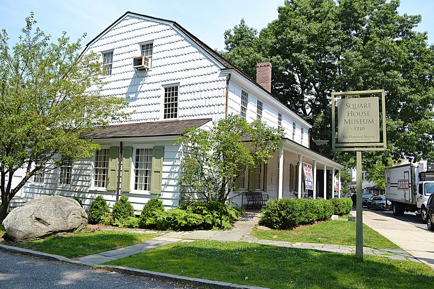
Like the indigenous people before them, Colonial Rye was a small farming community. Situated along the King’s Highway and later know as the Boston Post Road made it an important post and stagecoach stop. The business district moved from the Long Island Sound area to the King’s Highway. One of the taverns Strang’s Tavern and the Square House that is a museum today were located on the Post Road
Besides farming, residents during the winter months became tradesmen serving as wheelwrights, carpenters, saddlers, tailors, hatters, weavers and rope makers. The population remained small throughout this period, ranging from 722 in 1710 (including both Rye and Port Chester) to 986 in 1790.
With its many brooks, Rye had a number of mills with the first was built in 1656 on the Blind Brook near Oakland Beach Avenue. At the time of the Revolutionary War, 15 or 20 mills were operating in Rye and Port Chester, including one behind the Square House.
The Post Road, King Street, and the Grace Church Street were some of Rye’s earliest carriage paths. Water transportation and stagecoach linked the early settlers with the outside world. Active ports were at Milton Harbor and Portchester that transporting people and goods to and from LI and Manhattan. There were ferries at what is Guion Road today. The first wharf was built on Milton Harbor in 1679.
The area was under constant attack from the native Americans and the winters were often severe. Besides farming people fished, logged and traded goods. Logs were cut at the Saw Pit for the shipping industry The years during the Revolution from 1776 to 1783 were also difficult with constant raids by both the British and the Americans. The loyalist raiders were called cowboys. These cowboys would raid homes, fields, steal livestock and even killed people. As a result, many residents fled the area and their homes and fields fell into ruin. It would take a long time to recover after the war was over.
With the opening of the Erie Canal in 1825, farming declined as NYers got their farm goods from western NY.
Like much of Westchester, the coming of the railroad in 1849 changed everything. With the railroad came the wealth New Yorkers looking for a place to get away from the hot city in the summer building large luxurious country estates with many along the shore. Many of these homes were in the area that is now the City of Rye.


By the late 1800s, the area where Playland and Rye Town Park are now located become a summer resort where one could find hotels, small summer bungalows, restaurants and amusement parks. In 1909, Rye Town Park opened and in 1928 Playland would open.
By the early 1900’s, some became yearly commuters to the city and the train depended on this for fares and advertised heavily to attract more to the area. Rye became a bedroom community or the suburbs of NYC and by the 1920’s people were using cars. Areas that were once the large estates of the wealthy were subdivided into smaller lots to be sold for people to build homes.
Jared Peck on the Boston Post Road in 1860 was subdivided into Loudon Woods in 1910. Indian Village was developed around that time as the Halsted property near the Knapp House. The Brevoort “farm” became Greenhaven during the 1920s, and many families from publishing and the motion picture industry settled here.

Villages of White Plains and Harrison separated from Town of Rye after the Revolution.

Beginning in 1868, Port Chester separate from the Town of Rye becoming an incorporated village.
In 1895, Mamaroneck became a a village in Town of Mamaroneck. It had been Rye Neck in the Town of Rye.
In 1904, Rye Village incorporated but in 1942 it became a city and is no longer part of the Town of Rye. Rye City is the youngest city in NY with a population of about 16,000.
Village of Rye Brook remained part of the Town of Rye till it incorporated on July 7 1982.
Sources:
Stories — Rye Historical Society (ryehistory.org)
